
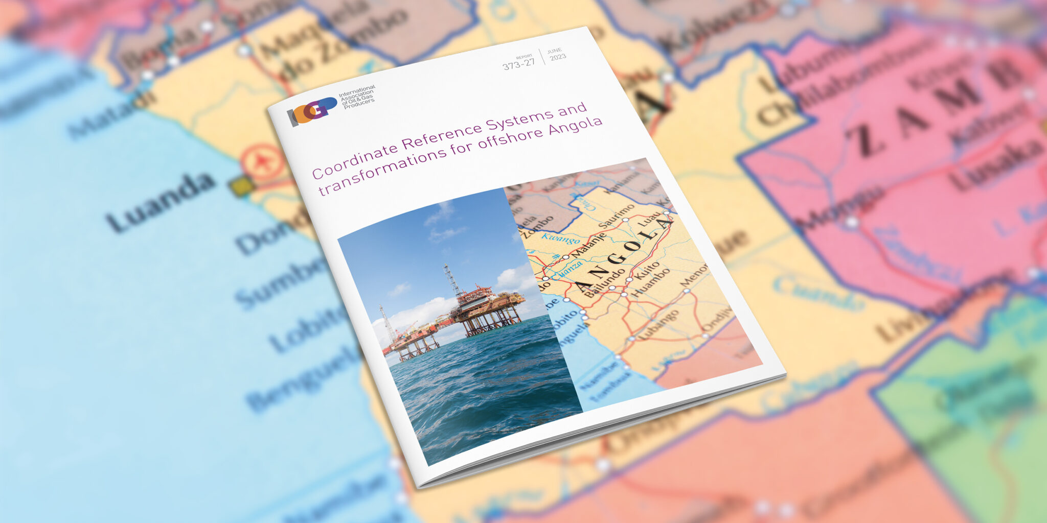
Coordinate Reference Systems and transformations for offshore Angola
The Angolan government has mandated the adoption of a new geodetic datum for all topographic cartography in the country. This document provides a brief overview of Coordinate Reference Systems (CRS) historically used in Angola, the CRS currently used by oil and gas operating companies, details of CRS transformation systems, and a list of recommendations for oil and gas industry geospatial professionals working in Angola.
Document Type: Report
Report Number: 373-27
Document Tags: Geodesy
Published Date: 12 Jun 2023
Last Reviewed: 12 Jun 2023
Latest Version: 1.00