
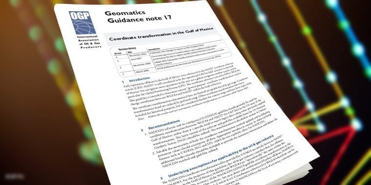
Co-ordinate transformation in the Gulf of Mexico
Note: As of October 2019, this report is withdrawn and superseded by Report 373-26 - Coordinate Transformations in the US Gulf of Mexico OCS. Copies of 373-17 will be made available upon request. Early operations offshore in the Gulf of Mexico were referenced to the NAD27 coordinate reference system (CRS). NAD27 is still considered to be the operational CRS for E&P activities in the Gulf of Mexico. For navigation most operations in the area use a global navigation satellite system, and in particular the Global Positioning System (GPS). The coordinate reference system for GPS is WGS 84. This guideline is intended to document current general purpose coordinate transformations used to change coordinates between WGS 84 and NAD27 within the Gulf of Mexico.
Document Type: Report
Report Number: 373-17
Document Tags: Geodesy
Published Date: 01 Mar 2006
Last Reviewed: 01 Nov 2010
Latest Version: 4.00