
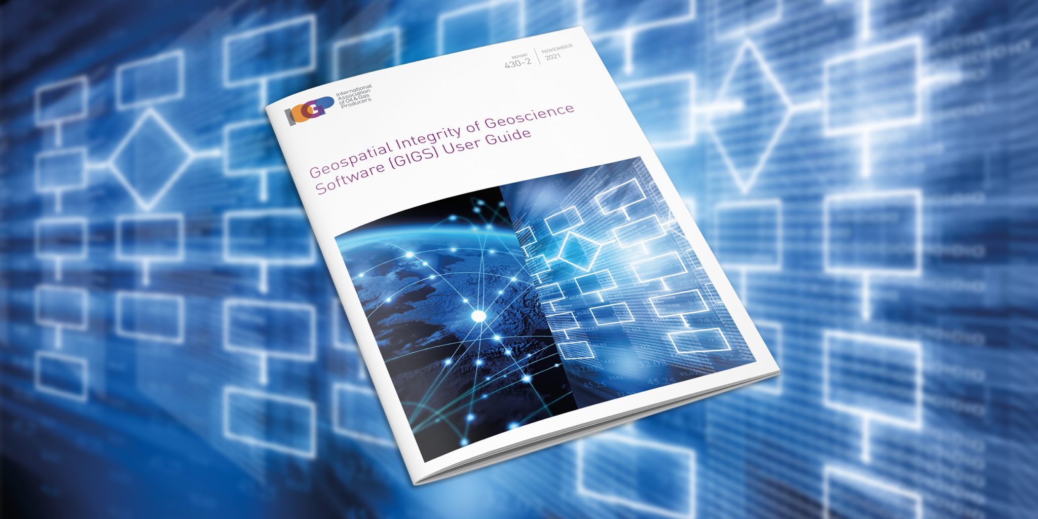
Geospatial Integrity of Geoscience Software (GIGS) User Guide
GIGS is an open-source digital testing framework designed to evaluate the capability of software in establishing and maintaining the integrity of geospatial data. It is primarily aimed at geoscience applications, but elements can be readily applied to any software that handles spatial data. The testing framework comprises a series of qualitative evaluations that assess software functionality and configuration, coupled with data-driven tests that quantify the accuracy and robustness of geodetic engines and libraries, in executing coordinate operations. The test package is supported by two documents, a general Guidance Note on the theory of geospatial integrity and GIGS testing (IOGP Report 430-1) and a comprehensive User Guide providing technical procedures for executing the GIGS tests (IOGP Report 430-2, this document).
Document Type: Report
Report Number: 430-2
Document Tags: Geodesy
Published Date: 19 Sep 2011
Last Reviewed: 23 Nov 2021
Latest Version: 2.00