
SSDM series
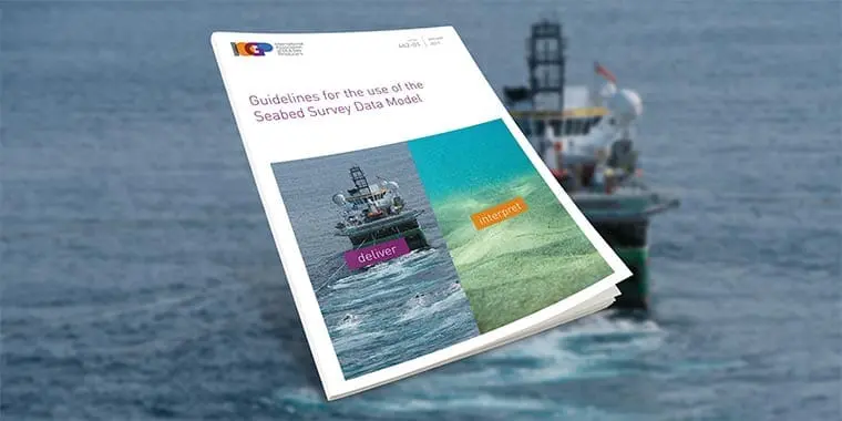
Since its publication in April 2011, the Seabed Survey Data Model (SSDM) has become the de facto industry standard for delivering seabed survey data in geographic information system (GIS) format. Historically, geographical features interpreted from seabed survey data have been delivered in unstructured CAD files. This has made the management, integration and exchange of the survey data and interpretation of results difficult. To address these issues the IOGP Seabed Survey Data Model (SSDM) Task Force was formed in 2010 to define a standard GIS data model for delivery, management and exchange of seabed survey data. In January 2017 IOGP successfully released an updated version of the model (SSDM V2) incorporating the industry feedback received so far. Version 2 of the SSDM package will unpack itself into the following structure: 1_Change_Log 2_Data_Dictionary 3_Data_Model_Templates 2a_GIS 2b_SeabedML 4_Data_Model_Guidelines 5_Symbology 6_Metadata FGDC ISO19139 7_ Feedback_Form
Document Type: Report
Report Number: 462
Document Tags: Data models, Geomatics
Latest Version: 2.00