
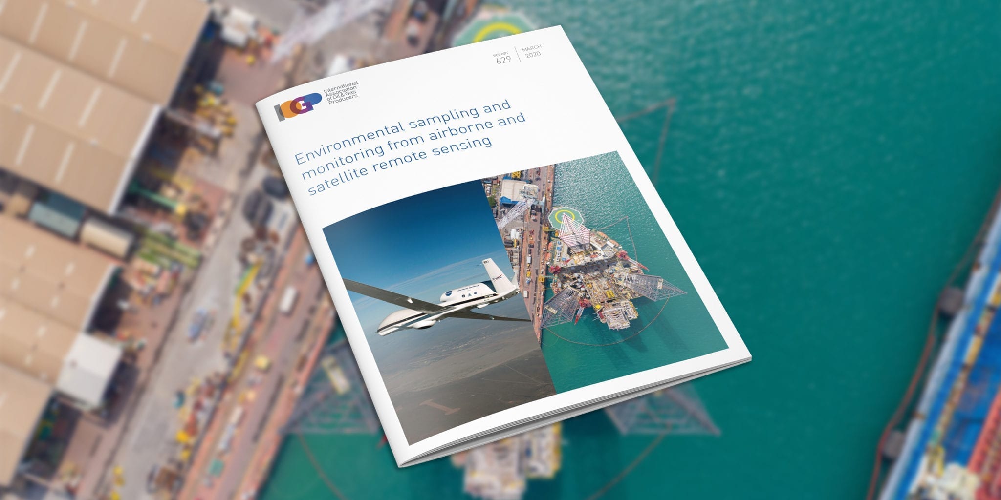
Environmental sampling and monitoring from airborne and satellite remote sensing
This report is designed to explain the value of remote sensing to environmental professionals who have limited or no background in the technology. It is not designed as a user manual for remote sensing, but references are provided to allow the reader to obtain further detail where required. In terms of applications, this document does not cover polar or oil spill response applications of remote sensing (both of which have been covered by iOGP/IPIECA), and provides only a brief summary of atmospheric applications. While the document covers mainstream satellite and airborne remote sensing platforms, including UAVs and manned aircraft, it does not include high altitude (stratospheric) and other experimental remote sensing platforms. Neither does this document cover laser fluorosensors, hand-held remote sensing, acoustic or seismic (in-water) sensors. These sensors do not belong to the commonly defined suite of remote sensing instruments.
Document Type: Report
Report Number: 629
Document Tags: Environment
Published Date: 10 Mar 2020
Last Reviewed: 10 Mar 2020
Latest Version: 1.00