
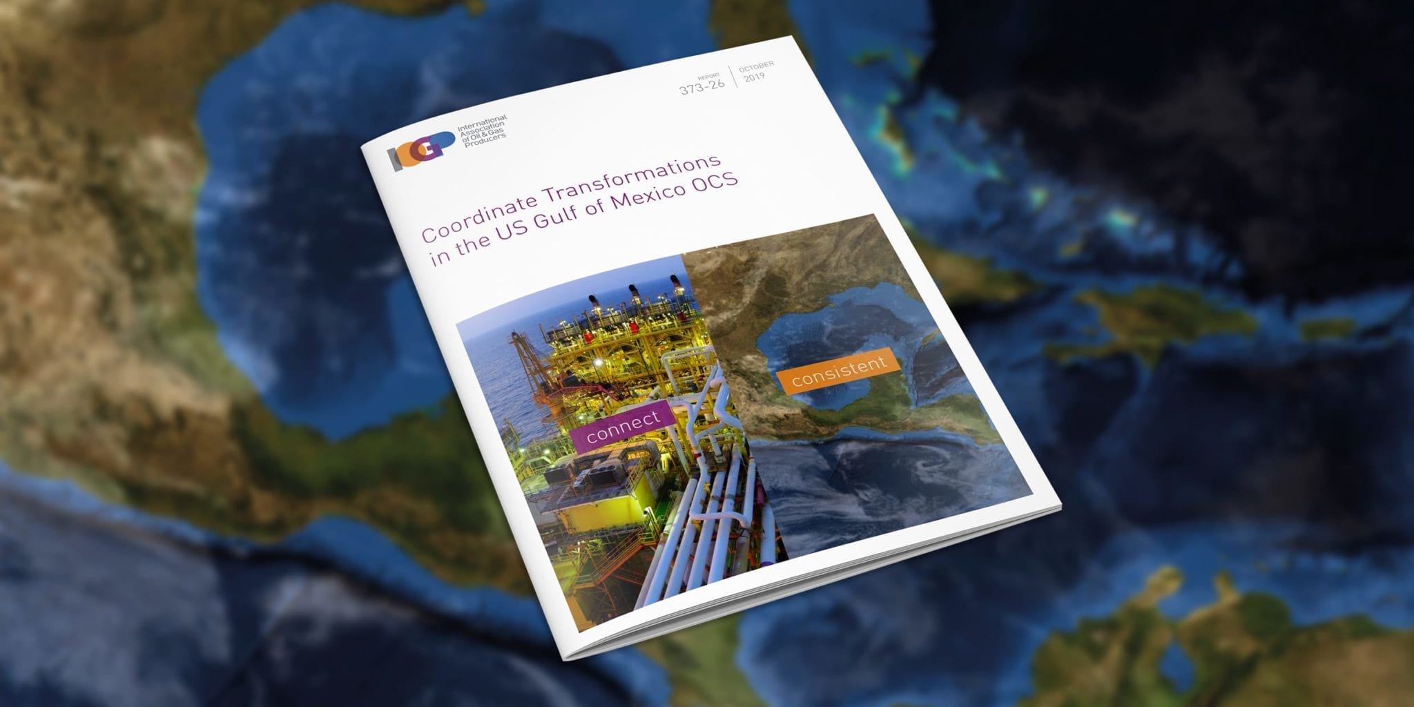
Coordinate Transformations in the US Gulf of Mexico OCS
This Guidance Note describes the recommended practice for the use of coordinate reference systems (CRSs) and coordinate transformations (CTs) between CRSs for the US Gulf of Mexico Outer Continental Shelf (GoM OCS). It is aimed at survey professionals working in Oil and Gas in this area, both in operating companies and contractors/service providers.
Document Type: Report
Report Number: 373-26
Document Tags: Geodesy
Published Date: 14 Oct 2019
Last Reviewed: 14 Oct 2019
Latest Version: 1.00